[This post describes things that occurred before the interruption.]
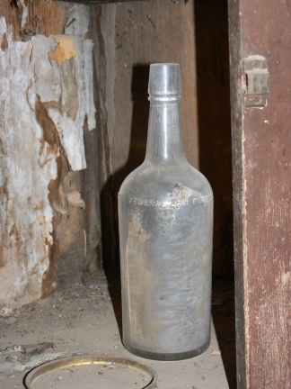
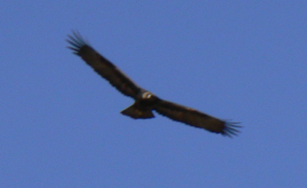
On my last day at the Guadalupe Mountains, I joined a ranger-guided drive (in a 4WD high-clearance van) to the Williams Ranch, an outpost on the south side of the park that is 11 miles over a bumpy road, at the base of the mountains. This was a poorly-promoted first attempt at this sort of thing, attended only by myself and the German couple I met at the summit of Guadalupe Peak (whom I had told about it). We spent about 1.5 hours bumping along the road, stopping at a few places along the way (see e.g. the eagle pictures from an earlier post), and then arrived at the abandoned ranch house. The NPS has restored the exterior of the house, but not yet done anything of substance to the interior. Becuase we had the ranger along, we were able to get in! The original settler of this ranch was from Louisiana. Some of the backing of the wallpaper was old New Orleans newspapers (sorry no dates, but they say the house was built in 1907, making it not much older than my house back in Somerville...)
Showing posts with label guadalupe mountains. Show all posts
Friday, March 21, 2008
Guadalupe Mountains: Bowl and Springs
[This post describes things that occurred before the interruption.]
The Guadalupe Mountains have a Bowl, or high valley, in a way that is similar to Big Bend's Basin. Because the location is further north, the Bowl contains a pinon/juniper forest, rather than the slightly more desert-like conditions at the Big Bend Basin.
Since the mountains are all limestone, all of the water arriving in the mountains drains through them, and comes out near the bottom. (This means there are no water sources up at higher elevations, making multi-day treks an interesting challenge.) Local ranchers took advantage of the relatively plentiful springs in the area to eke out a living.
The Guadalupe Mountains have a Bowl, or high valley, in a way that is similar to Big Bend's Basin. Because the location is further north, the Bowl contains a pinon/juniper forest, rather than the slightly more desert-like conditions at the Big Bend Basin.
Since the mountains are all limestone, all of the water arriving in the mountains drains through them, and comes out near the bottom. (This means there are no water sources up at higher elevations, making multi-day treks an interesting challenge.) Local ranchers took advantage of the relatively plentiful springs in the area to eke out a living.
Guadalupe Mountains: Guadalupe Peak
[This post describes things that occurred before the interruption.]
One beautiful (if a bit cold and windy) morning, I arose, had breakfast, and took of for Guadalupe Peak. I had forgotten that weather forecasts for valley areas meant colder weather in summit areas, so I was a bit (but only a bit) underdressed. I achieved the summit in about 3.5 hours, where an obliging German couple took our pictures. We were beat when we got back down 2.5 hours later. (The beer being quaffed is Roswell Alien Amber, highly recommended.)
Thursday, March 20, 2008
Guadalupe Mountains: El Capitan, and a golden eagle
[This post describes things that occurred before the interruption.] I've decided to describe the Guadalupes in a series of short posts, rather than long chronological ones.
The Guadalupe Mountains are part of a mountain range that includes the Carlsbad Caverns. The formation is largely a coral reef that has been upthrust from the next range to the west. The peak at the end of the Guadalupe range is El Capitan, here pictured from a variety of angles.
Along the way where a number of these pictures were taken, a golden eagle obligingly circled for photographs.
The Guadalupe Mountains are part of a mountain range that includes the Carlsbad Caverns. The formation is largely a coral reef that has been upthrust from the next range to the west. The peak at the end of the Guadalupe range is El Capitan, here pictured from a variety of angles.
Along the way where a number of these pictures were taken, a golden eagle obligingly circled for photographs.
Subscribe to:
Posts (Atom)