Showing posts with label texas. Show all posts

Friday, March 21, 2008

Guadalupe Mountains: Williams Ranch

[This post describes things that occurred before the interruption.]


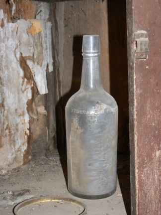
On my last day at the Guadalupe Mountains, I joined a ranger-guided drive (in a 4WD high-clearance van) to the Williams Ranch, an outpost on the south side of the park that is 11 miles over a bumpy road, at the base of the mountains. This was a poorly-promoted first attempt at this sort of thing, attended only by myself and the German couple I met at the summit of Guadalupe Peak (whom I had told about it). We spent about 1.5 hours bumping along the road, stopping at a few places along the way (see e.g. the eagle pictures from an earlier post), and then arrived at the abandoned ranch house. The NPS has restored the exterior of the house, but not yet done anything of substance to the interior. Becuase we had the ranger along, we were able to get in! The original settler of this ranch was from Louisiana. Some of the backing of the wallpaper was old New Orleans newspapers (sorry no dates, but they say the house was built in 1907, making it not much older than my house back in Somerville...)

Guadalupe Mountains: Bowl and Springs

[This post describes things that occurred before the interruption.]


The Guadalupe Mountains have a Bowl, or high valley, in a way that is similar to Big Bend's Basin. Because the location is further north, the Bowl contains a pinon/juniper forest, rather than the slightly more desert-like conditions at the Big Bend Basin.


Since the mountains are all limestone, all of the water arriving in the mountains drains through them, and comes out near the bottom. (This means there are no water sources up at higher elevations, making multi-day treks an interesting challenge.) Local ranchers took advantage of the relatively plentiful springs in the area to eke out a living.

Guadalupe Mountains: Guadalupe Peak

[This post describes things that occurred before the interruption.]


One beautiful (if a bit cold and windy) morning, I arose, had breakfast, and took of for Guadalupe Peak. I had forgotten that weather forecasts for valley areas meant colder weather in summit areas, so I was a bit (but only a bit) underdressed. I achieved the summit in about 3.5 hours, where an obliging German couple took our pictures. We were beat when we got back down 2.5 hours later. (The beer being quaffed is Roswell Alien Amber, highly recommended.)

Thursday, March 20, 2008

Guadalupe Mountains: El Capitan, and a golden eagle

[This post describes things that occurred before the interruption.] I've decided to describe the Guadalupes in a series of short posts, rather than long chronological ones.


The Guadalupe Mountains are part of a mountain range that includes the Carlsbad Caverns. The formation is largely a coral reef that has been upthrust from the next range to the west. The peak at the end of the Guadalupe range is El Capitan, here pictured from a variety of angles.


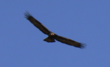
Along the way where a number of these pictures were taken, a golden eagle obligingly circled for photographs.

Saturday, March 15, 2008

Davis Mountains, Texas

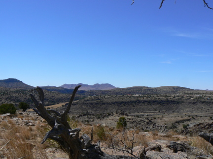
The Davis Mountains are in (surprise!) West Texas, about 125 miles north of Big Bend. They are a mere 25 or so miles from Alpine, where I left you in the last entry. The entry point is the town of Fort Davis, which, I'm sure to your vast surprise, is the site of an historic military site. I did not visit said military site (there are whole strings of these across the west, placed for reasons known to most students of 19th-century US history). Instead I visited two different places, which are at opposite ends of the basin containing Fort Davis, and provided an interesting contrast in views.


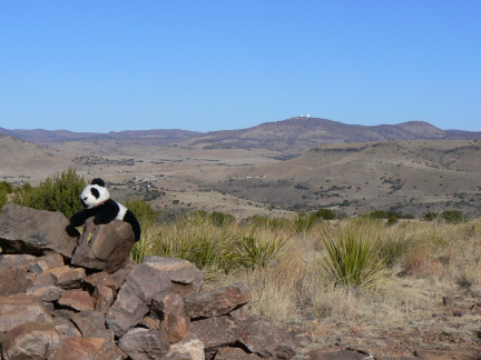
The first place is about 5 miles south of Fort Davis, and is called the Chihuahua Desert Research Institute. This is basically a research center for the University of Texas, Austin, but it is open to the public and has a small visitor's center. For a small fee, I hiked the grounds, and caught some nice views. I also saw some kind of mountain goat or sheep. I thought it looked like a bighorn, but the locals deemed that unlikely (it would have been newsworthy), instead claiming it was probably an aoudad, or Barbary sheep. On the other hand, a bird was nice enough to pose.


The second place, where I camped the night, was the Davis Mountains State Park. This is set in a ravine just outside the town of Fort Davis, and is actually adjacent to the fort, which is reachable by a 5-mile hiking trail. (I didn't.) There is a drive up to a viewpoint, looking south over the basin which was seen looking north from the CDRC.


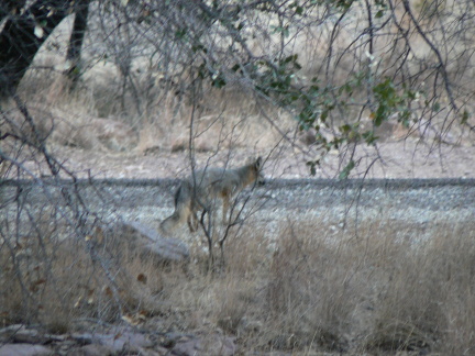
The state park is endowed with further hiking trails, enough to occupy a morning at least. It is also endowed with some wildlife, including this fox?, and some deer that desperately wanted a part of other campers' dinners. (They didn't come harass me -- maybe they don't like vegetarians?)

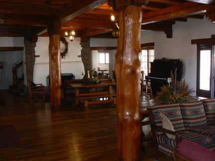
It also has a lodge, once again brought to us by the CCC. They have lovingly restored the lounge, complete with anecdotes from some of the families of CCC workers at the site.


From the Davis Mountains, it was about three hours of somewhat scenic driving to reach the Guadalupe Mountains National Park, where I camped for five nights. (For those keeping score, the arrival date is March 9.)

Canoeing Santa Elena Canyon


After my sojourn at Big Bend Ranch, I returned to Terlingua, and booked a seat on a one-day canoe outing into Santa Elena Canyon with a local outfitter. Normally they prefer to offer rafting trips, which can cover the entire canyon in one day. However, since the Rio Grande's water levels are low, they can only use canoes, and even at that we sometimes scraped bottom...

The outing included three guides and about 20 clients, including a school group from Beeville, Texas. I was paired with one of the guides, a 20-something woman who seemed to like the outdoors as much as I do.

We put in at the lower mouth of the canyon, and then paddled upstream for the morning. We stopped fairly regularly, as (to be expected) the skill levels of the participants varied considerably. I've done some canoeing before.
Eventually we got to a side canyon called Fern Canyon, where we stopped for lunch (essentially a sandwich buffet). After a nice pause, in which some of the kids (and some of their teachers) decided to dive into the river, we headed back downstream, at a slightly faster pace...


Upon return to home base, I immediately took off for Alpine, Texas, where I found refuge at the Holland Hotel, which includes the wonderful Edelweiss Brewery and Restaurant. The beer was good, the veggie burger was pretty much what there was for me to eat.

How to make camp

This is just a sequence of pictures showing how I set up camp while I was at Big Bend Ranch. Elapsed time: about 30 minutes. I chose not to put the tent fly on -- it is needed when there is rain, or when it gets windy in the desert (blowing sand into the tent, which is not exactly fun).


Friday, March 14, 2008

Big Bend Ranch State Park

[Editorial aside: I'm having hardware (apparently power-supply) and network connection problems, so updates may be even spottier than previously expected.]

Big Bend Ranch State Park has a history of being a ranch. It was not necessarily endowed with great physical beauty, since those accumulating the land were more interested in it for its ranching potential.

There were only a few things that I found of interest at Big Bend Ranch. I went on a hike down part of Frisco Canyon. Not that exciting.


Throughout this region there was a lot of volcanic activity once. Some of it left behind these formations called dykes, which look at times almost like fortifications kind-of like the Great Wall of Texas.


In some canyons in the desert, water may remain in pools in place that are largely sheltered from the elements. These are called tinajas, and there were some specimens to see.


Water sometimes sculpts the stone in interesting ways.


A flowering cactus.

This is a sotol plant.

This is a flowering yucca, it's about 8 feet tall.

Dunno what this is, pretty though.